Unlocking Insights Through Spatial Data
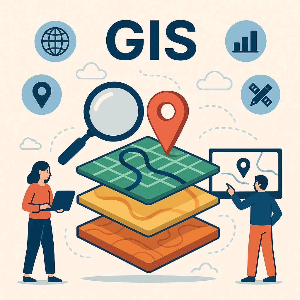
In an era where data drives nearly every decision, spatial data stands out as one of the most powerful tools available. By combining information with geographic context, we can uncover patterns, enhance understanding, and create innovative solutions across industries.
In this post, we’ll explore what spatial data is, why it matters, and how we can harness it in real-world applications.
📌 What Is Spatial Data?
Spatial data—also known as geospatial data—is any data that includes a reference to location. This might be coordinates (latitude and longitude), addresses, ZIP codes, or geographic boundaries.
Structured properly, spatial data allows us to ask not just what or when, but also where—giving our analysis an entirely new dimension.
💡 Why Spatial Data Matters
With the right tools, spatial data can help:
- Visualize problems and patterns geographically
- Reveal relationships that aren’t obvious in plain datasets
- Optimize operations (like delivery routes or emergency response)
- Generate location-specific insights for better decision-making
This is incredibly valuable across domains—from logistics and public health to environmental monitoring and smart city planning.
🛠️ Spatial Data in Action: Real-World Developer Use Cases
Let’s break down a few practical implementations from a developer’s point of view:
1. Interactive Maps with Google Maps or Mapbox
Want to visualize location-based data in a beautiful, interactive format? Map APIs like Google Maps, Mapbox, or Leaflet allow you to:
- Track deliveries in real-time
- Display user check-ins or incidents on a map
- Show service areas or restricted zones
💡 Example: A logistics dashboard that updates driver locations live while optimizing delivery paths based on traffic data.
2. Spatial Queries Using PostGIS
With PostGIS, an extension of PostgreSQL, developers can perform geographic queries like:
SELECT * FROM parks
WHERE ST_DWithin(geom, ST_MakePoint(-6.2, 106.8)::geography, 2000);
This SQL finds parks within 2 km of a point in Jakarta—ideal for search features in apps like food delivery, ride-hailing, or local services.
3. Urban Planning and Heatmap Analysis
Imagine a smart city dashboard that shows complaints or incident reports by neighborhood. Using spatial overlays and heatmaps, developers can help:
- Identify hotspots for issues
- Optimize deployment of maintenance crews
- Recommend future infrastructure development
4. Environmental Monitoring with Satellite Data
Developers can leverage tools like Google Earth Engine or Sentinel Hub to analyze satellite imagery. Applications include:
- Tracking deforestation
- Monitoring crop health
- Observing water levels or pollution patterns
These tools process massive spatial datasets at scale—ideal for climate tech or agricultural startups.
5. Augmented Reality with Spatial Anchoring
Using ARKit, ARCore, or Unity’s AR Foundation, developers can anchor digital elements to physical locations. Picture:
- An AR tour guide overlaying facts on buildings
- A historical viewfinder that reconstructs a landmark in its original form
- A location-based AR game like Pokémon GO
Spatial data makes it all possible.
🚀 Final Thoughts
Spatial data is more than just dots on a map—it’s a powerful storytelling tool. For developers, it unlocks the potential to build smarter, more intuitive, and more impactful applications.
When combined with traditional datasets, spatial data doesn’t just enhance your app—it transforms it.
💬 What Are You Building?
Have a project that uses spatial data? Want help choosing the right tools or libraries? Let’s chat in the comments below, or shoot me a message—I’d love to hear about your work!
